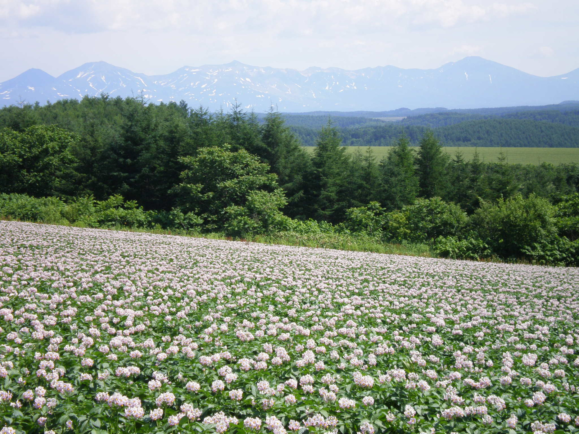
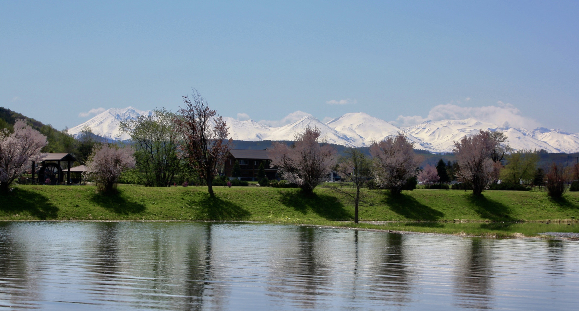
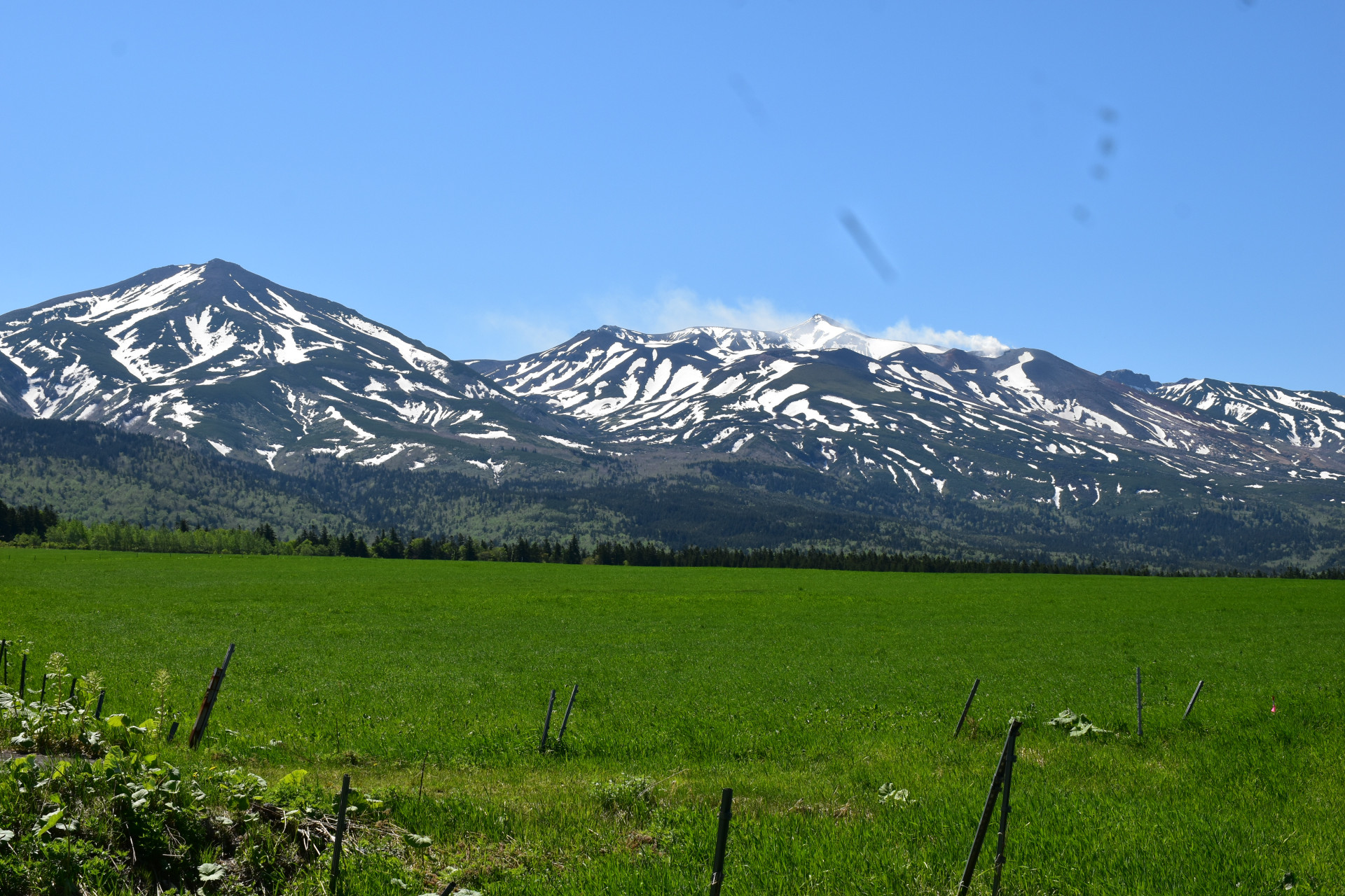
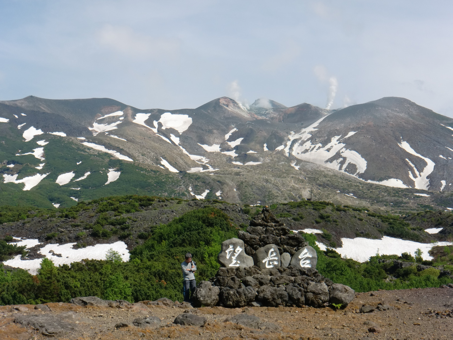
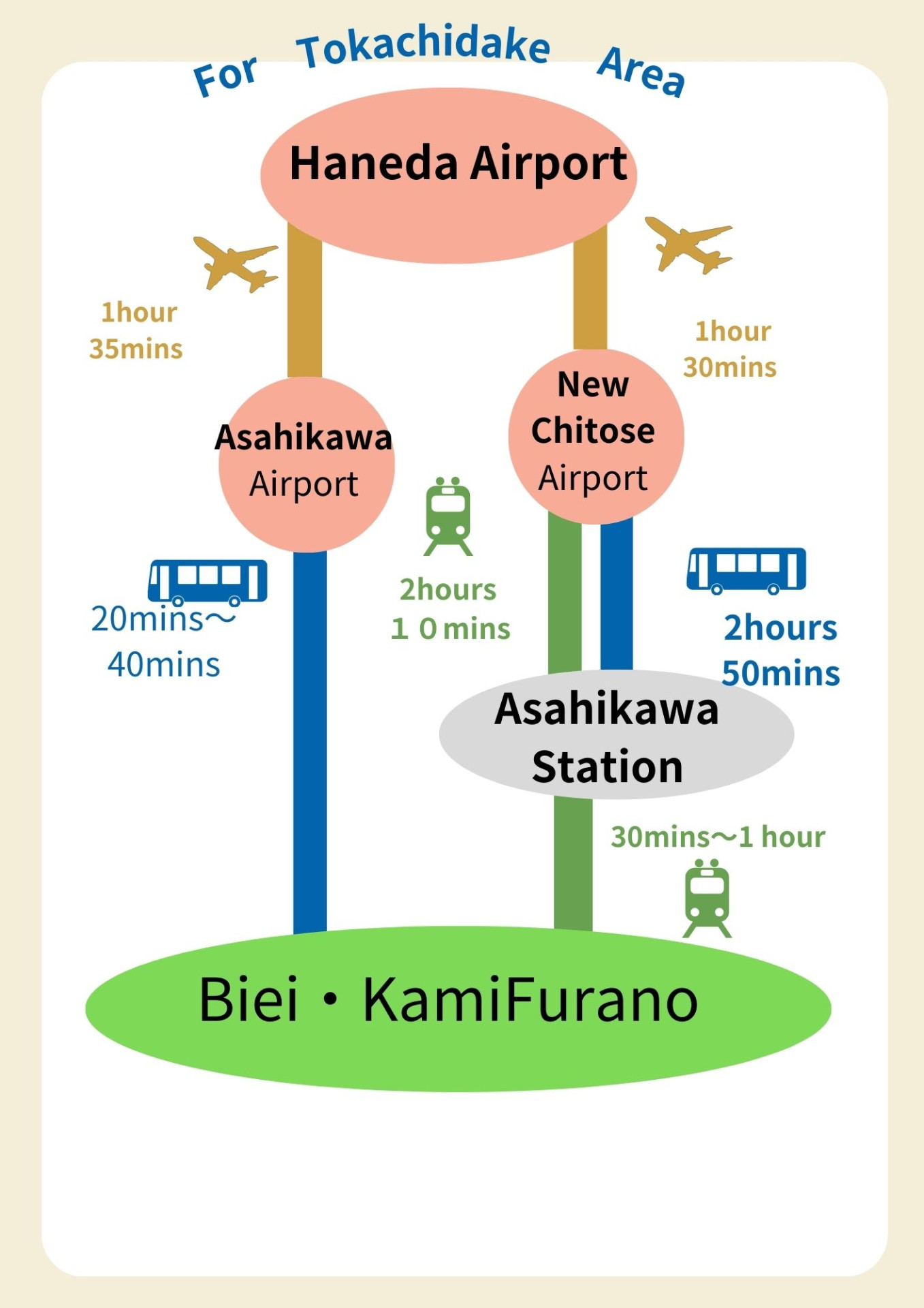
The Mt.Tokachidake Range area stretches from Biei to Furano, with the still-active volcano, Mt.Tokachidake, at its center.
Unlike Omote-Daisetsu, the Mt.Tokachidake area is intersected by steep ridgelines and deep valleys. At the foot of the Mt.Tokachidake mountain range are foothills formed by volcanic activity. Rich agricultural plains flank the range to the north. 十勝岳、富良野へ岳登山の際は、JRで美瑛駅、上富良野駅、登山口までバスを乗り継ぐ。